File:State of Connecticut- Base map with highways and contours. LOC 76695372.jpg

Size of this preview: 765 × 599 pixels. Other resolutions: 306 × 240 pixels | 613 × 480 pixels | 980 × 768 pixels | 1,280 × 1,003 pixels | 2,560 × 2,006 pixels | 16,601 × 13,008 pixels.
Original file (16,601 × 13,008 pixels, file size: 29.25 MB, MIME type: image/jpeg)
Captions
Captions
Add a one-line explanation of what this file represents
Summary
edit| Warning | The original file is very high-resolution. It might not load properly or could cause your browser to freeze when opened at full size. |
|---|
| Description |
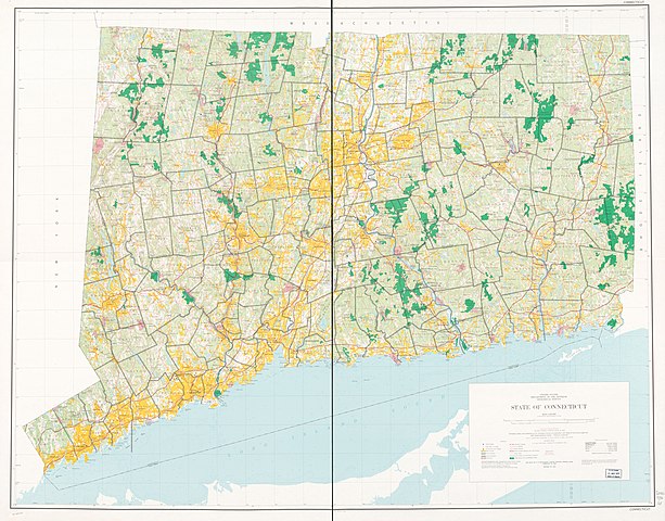
English: Scale 1:125,000; 1 in. equals approx. 2 miles. "Polyconic projection." "North American datum." Relief shown by contours. Depths shown by soundings. "Compiled in 1965." Available also through the Library of Congress Web site as a raster image. AACR2 |
||
| Title | State of Connecticut: Base map with highways and contours. | ||
| Shelf ID | G3780 1974 .U5 | ||
| Date | |||
| Source | https://www.loc.gov/item/76695372/ | ||
| Author | Geological Survey (U.S.) | ||
| Permission (Reusing this file) |
|
||
| Location | United States · Connecticut | ||
| Part of | American Memory · General Maps · Catalog · Geography And Map Division | ||
| Subject | United States · Maps · Connecticut |

Licensing
edit
| This work is from the Library of Congress. According to the library, there are no known copyright restrictions on the use of this work. |  |
File history
Click on a date/time to view the file as it appeared at that time.
| Date/Time | Thumbnail | Dimensions | User | Comment | |
|---|---|---|---|---|---|
| current | 05:10, 18 May 2018 | | 16,601 × 13,008 (29.25 MB) | Fæ (talk | contribs) | LOC Maps https://www.loc.gov/item/76695372/ #1608 |
You cannot overwrite this file.
File usage on Commons
There are no pages that use this file.