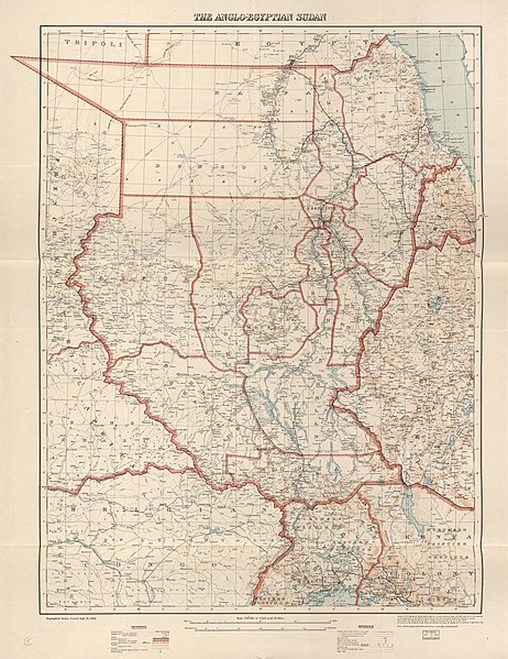
File:The Anglo-Egyptian Sudan LOC 2012593692.jpg

Size of this preview: 462 × 599 pixels. Other resolutions: 185 × 240 pixels | 370 × 480 pixels | 592 × 768 pixels | 789 × 1,024 pixels | 1,579 × 2,048 pixels | 9,129 × 11,843 pixels.
Original file (9,129 × 11,843 pixels, file size: 17.38 MB, MIME type: image/jpeg)
Captions
Captions
Add a one-line explanation of what this file represents
Summary
edit| Warning | The original file is very high-resolution. It might not load properly or could cause your browser to freeze when opened at full size. |
|---|
| Description |
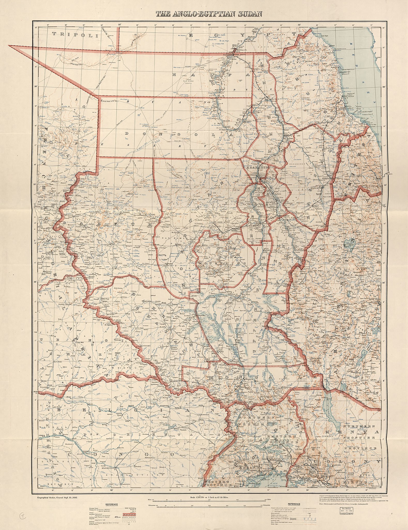
English: Shows projected or proposed railways and international boundary lines. Relief shown by form lines and spot heights. "Drawn, heliozincographed, and printed at the Ordance Survey Office, Southhampton, 1928." Available also through the Library of Congress Web site as a raster image. |
||
| Title | The Anglo-Egyptian Sudan | ||
| Shelf ID | G8310 1928 .G7 G8310 1928 .G7 Copy 2 | ||
| Date | |||
| Source | https://www.loc.gov/item/2012593692/ | ||
| Author | Great Britain. War Office. General Staff. Geographical Section | ||
| Permission (Reusing this file) |
|
||
| Other versions |
|
||
| Location | Sudan · Egypt | ||
| Part of | American Memory · General Maps · Catalog · Geography And Map Division | ||
| Subject | Sudan · Maps · Roads · Road Maps · Egypt |


Licensing
edit
|
This is a faithful photographic reproduction of a two-dimensional, public domain work of art. The work of art itself is in the public domain for the following reason:
The official position taken by the Wikimedia Foundation is that "faithful reproductions of two-dimensional public domain works of art are public domain".
This photographic reproduction is therefore also considered to be in the public domain in the United States. In other jurisdictions, re-use of this content may be restricted; see Reuse of PD-Art photographs for details. | ||||
File history
Click on a date/time to view the file as it appeared at that time.
| Date/Time | Thumbnail | Dimensions | User | Comment | |
|---|---|---|---|---|---|
| current | 13:11, 24 May 2018 | | 9,129 × 11,843 (17.38 MB) | Fæ (talk | contribs) | LOC Maps https://www.loc.gov/item/2012593692/ #225 |
You cannot overwrite this file.
File usage on Commons
The following page uses this file: