File:Water-resources investigations in Kentucky, 1976 LOC 83692064.jpg

Size of this preview: 457 × 599 pixels. Other resolutions: 183 × 240 pixels | 366 × 480 pixels | 585 × 768 pixels | 781 × 1,024 pixels | 1,562 × 2,048 pixels | 9,655 × 12,662 pixels.
Original file (9,655 × 12,662 pixels, file size: 10.04 MB, MIME type: image/jpeg)
Captions
Captions
Add a one-line explanation of what this file represents
Summary
edit| Warning | The original file is very high-resolution. It might not load properly or could cause your browser to freeze when opened at full size. |
|---|
| Description |
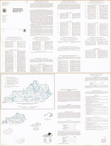
English: Panel title. Includes text and tables. Text on verso. Includes bibliographies. Available also through the Library of Congress Web site as a raster image. |
||
| Title | Water-resources investigations in Kentucky, 1976 | ||
| Shelf ID | G3951.C3 1976 .G4 | ||
| Date | |||
| Source | https://www.loc.gov/item/83692064/ | ||
| Author | Geological Survey (U.S.). Water Resources Division; Kentucky Geological Survey | ||
| Permission (Reusing this file) |
|
||
| Other versions |
|
||
| Location | United States · Kentucky. · Kentucky | ||
| Part of | American Memory · Catalog · Geography And Map Division · Additional Conservation And Environment Cartographic Items | ||
| Subject | Hydrology · Water Resources Development · Kentucky · Hydrological Stations · United States · Maps · Bibliography |

Licensing
edit
This work is in the public domain in the United States because it is a work prepared by an officer or employee of the United States Government as part of that person’s official duties under the terms of Title 17, Chapter 1, Section 105 of the US Code.
Note: This only applies to original works of the Federal Government and not to the work of any individual U.S. state, territory, commonwealth, county, municipality, or any other subdivision. This template also does not apply to postage stamp designs published by the United States Postal Service since 1978. (See § 313.6(C)(1) of Compendium of U.S. Copyright Office Practices). It also does not apply to certain US coins; see The US Mint Terms of Use.
|
 | |
| This file has been identified as being free of known restrictions under copyright law, including all related and neighboring rights. | ||
File history
Click on a date/time to view the file as it appeared at that time.
| Date/Time | Thumbnail | Dimensions | User | Comment | |
|---|---|---|---|---|---|
| current | 10:06, 1 July 2019 | | 9,655 × 12,662 (10.04 MB) | Fæ (talk | contribs) | LOC Maps https://www.loc.gov/item/83692064/ #26107 |
You cannot overwrite this file.
File usage on Commons
The following page uses this file: