Category:Old maps of Montreal

Subcategories
This category has the following 26 subcategories, out of 26 total.
- 1801 maps of Montreal (2 F)
- 1805 maps of Montreal (1 F)
- 1815 maps of Montreal (2 F)
- 1817 maps of Montreal (1 F)
- 1825 maps of Montreal (3 F)
- 1830 maps of Montreal (2 F)
- 1831 maps of Montreal (2 F)
- 1834 maps of Montreal (2 F)
- 1901 maps of Montreal (1 F)
- 1903 maps of Montreal (1 F)
- 1905 maps of Montreal (1 F)
- 1907 maps of Montreal (7 F)
- 1909 maps of Montreal (1 F)
- 1911 maps of Montreal (1 F)
- 1913 maps of Montreal (2 F)
- 1914 maps of Montreal (3 F)
- 1920 maps of Montreal (1 F)
- 1928 maps of Montreal (1 F)
- 1936 maps of Montreal (1 F)
- 1939 maps of Montreal (2 F)
- 1944 maps of Montreal (1 F)
G
Media in category "Old maps of Montreal"
The following 45 files are in this category, out of 45 total.
-
-

-

-

-
 Achintre, Crevier - L'Île Ste. Hélène. Passé, présent et avenir, 1876, ill p134.png 3,928 × 2,452; 3.94 MB
-
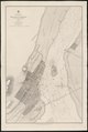
 Admiralty Chart No 1127 Montreal Harbour, Published 1860 cropped to show Victoria Bridge.jpg 4,967 × 3,181; 2.23 MB
-
 Admiralty Chart No 1127 Montreal Harbour, Published 1860.jpg 8,224 × 12,238; 11.98 MB
-
 Admiralty Chart No 2830b Sheet II Point du Lac to Lachine Rapids, Published 1861.jpg 8,169 × 11,917; 7.64 MB
-
 Canal Saint-Gabriel.jpg 1,024 × 682; 440 KB
-
 Carte comprenant la Riviere et le Lac Saint-Pierre et la ville de Montreal.jpg 5,101 × 2,268; 1.78 MB
-
 Carte Montreal 1760.jpg 1,200 × 895; 464 KB
-
 Carte topographique de l ile de Montreal de 1542 a 1642.jpg 1,479 × 694; 403 KB
-
 Chambord Gilford.jpg 1,585 × 634; 911 KB
-
 Champlain Sault St-Louis 1611 avec légende.tiff 1,865 × 2,145; 11.67 MB
-
 Champlain Sault St-Louis 1611.jpg 1,873 × 1,399; 4.1 MB
-
 DollierRuesMontreal.jpg 1,930 × 1,414; 192 KB
-
 Fort Nouvelle Lorette.PNG 817 × 449; 305 KB
-
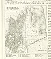
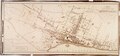
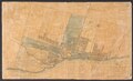
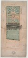
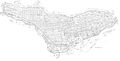
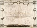 Topographical and pictorial map of the city of Montreal (IA McGillLibrary-122948-2114).pdf 4,777 × 3,716; 10.01 MB
-
-
-
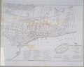
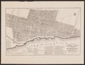
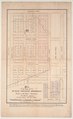
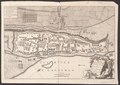
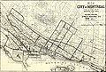
 Pocket map of the city of Montreal (IA McGillLibrary-122959-2118).pdf 2,725 × 2,054; 1.65 MB
-
-
-
-
-
-
-
-
-
-
-

-
-
-
 Montreal 1647.jpg 226 × 168; 16 KB
-
 Place Montreal 1675.jpg 1,600 × 1,184; 288 KB
-
 Plan Cote Saint-Antoine.PNG 1,013 × 1,066; 1.6 MB
-
 Plan de l Ile de Montreal.jpg 3,500 × 1,783; 1.55 MB
-
 Plan de partie de l isle de Monreal.jpg 1,409 × 957; 404 KB
-

-
 Plan Montreal 1647 Jean Bourdon.jpg 980 × 614; 105 KB
-
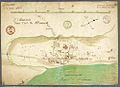
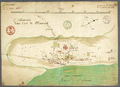
 Plan of Montreal, 1687-1723.jpg 1,239 × 903; 767 KB
-
 The Street railway journal (1895) (14572556619).jpg 3,632 × 2,444; 2.07 MB
-
 Ville-Marie dans l-isle de Montreal.jpg 1,000 × 729; 155 KB
-
 Ville-Marie dans l-isle de Montreal.png 1,000 × 729; 1.3 MB
%27_(11252900636).jpg)
.jpg)
%27_(11248077515).jpg)
%27_(11248905105).jpg)


_(14572556619).jpg)

