Category:1700s maps of Greece
Subcategories
This category has only the following subcategory.
Media in category "1700s maps of Greece"
The following 5 files are in this category, out of 5 total.
-

-

-
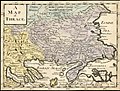 Ca. 1700 map of Thrace.jpg 1,591 × 1,200; 502 KB
-
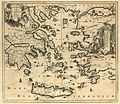 Houghton MG 1070.1.2 - Dapper, Carte de L'Archipel.jpg 2,249 × 1,947; 3.49 MB
-
 Navarin bay.jpg 900 × 666; 158 KB


