Category:1998 United States Senate election maps
Media in category "1998 United States Senate election maps"
The following 53 files are in this category, out of 53 total.
-
 1998 Arizona.png 2,000 × 2,332; 218 KB
-

-

-

-

-

-

-

-

-

-

-

-

-

-
 1998 United States Senate election in Iowa results map by county.svg 810 × 532; 31 KB
-

-

-
-

-

-
-

-

-

-

-

-
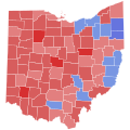 1998 United States Senate election in Ohio results map by county.svg 810 × 810; 39 KB
-

-

-
 1998 United States Senate election in Oregon, Democratic primary.svg 810 × 608; 33 KB
-
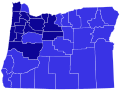
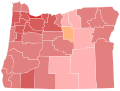 1998 United States Senate election in Oregon, Republican primary.svg 810 × 608; 33 KB
-

-

-

-
 1998 United States Senate election in Utah results map by county.svg 810 × 810; 29 KB
-

-
-

-

-

-
 1998 United States Senate elections results map.svg 959 × 593; 82 KB
-
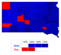
 1998 Washington senate race map.png 610 × 398; 17 KB
-
 98Daschle.png 324 × 294; 5 KB
-
 98ILSenateCounties.PNG 336 × 599; 48 KB
-
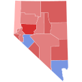
 98NVSenateCounties.PNG 405 × 599; 35 KB
-
 98WISenateElections.PNG 559 × 599; 73 KB
-
 Illinois Senate election by county, 1998.png 2,000 × 3,604; 405 KB
-
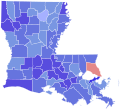
 Labreaux98.png 245 × 298; 7 KB
-
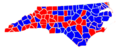 NC senate 1998.PNG 320 × 130; 19 KB
-
 NJSenCounties98.png 327 × 598; 69 KB
-
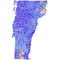
 NYSen98Counties.png 500 × 376; 13 KB
-
 South Carolina 1998 Senate Election.png 315 × 233; 22 KB
-
 Us senate result 1998.PNG 506 × 313; 10 KB


