File:A new map of Virginia, Mary-land and the improved parts of Penn-sylvania & New Jersey - revised by I. Senex. NYPL976264.tiff
Size of this JPG preview of this TIF file: 666 × 599 pixels. Other resolutions: 267 × 240 pixels | 533 × 480 pixels | 853 × 768 pixels | 1,138 × 1,024 pixels | 2,276 × 2,048 pixels | 5,227 × 4,704 pixels.
Original file (5,227 × 4,704 pixels, file size: 70.35 MB, MIME type: image/tiff)
Captions
Captions
Add a one-line explanation of what this file represents
Summary edit
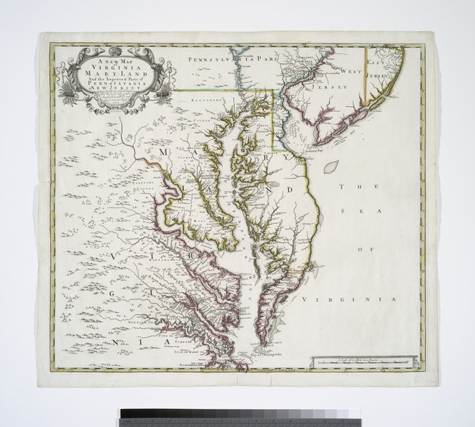
| Description | A new map of Virginia, Mary-land and the improved parts of Penn-sylvania & New Jersey / revised by I. Senex. | |||||||||||||||||||||||
| Notes | "Most humbly inscrib'd to the Right Honble. the Earl of Orkney &ct.;, Knight of ye most Noble and Anciet Order of ye Thistle, 1719." Note 2.) From John Senex's A new general atlas. Note 3.) Lawrence H. Slaughter Collection ; 37. Note 4.) National Endowment for the Humanities Grant for Access to Early Maps of the Middle Atlantic Seaboard. Note 5.) Prime meridian: London. Note 6.) Relief shown pictorially. | |||||||||||||||||||||||
| Standard reference | Phillips. Maps of America, p. 980 | |||||||||||||||||||||||
| Physical description | 1 map : hand col. ; 49 x 54 cm. | |||||||||||||||||||||||
| Catalog Call Number | Map Div. 97-6264 [LHS 37] | |||||||||||||||||||||||
| Date | ||||||||||||||||||||||||
| Source |
http://digitalgallery.nypl.org/nypldigital/dgkeysearchdetail.cfm?imageID=976264
|
|||||||||||||||||||||||
| Author | Senex, John, d. 1740 -- Cartographer | |||||||||||||||||||||||
| Permission (Reusing this file) |
From The Lionel Pincus & Princess Firyal Map Division. Released on a CC0 license.[1] | |||||||||||||||||||||||
| Digital ID | 976264 | |||||||||||||||||||||||
| Location | Stephen A. Schwarzman Building / The Lionel Pincus and Princess Firyal Map Division | |||||||||||||||||||||||
| NYPL digital item published | 9-14-2005; updated 3-25-2011 | |||||||||||||||||||||||

Licensing edit
| This file is made available under the Creative Commons CC0 1.0 Universal Public Domain Dedication. | |
| The person who associated a work with this deed has dedicated the work to the public domain by waiving all of their rights to the work worldwide under copyright law, including all related and neighboring rights, to the extent allowed by law. You can copy, modify, distribute and perform the work, even for commercial purposes, all without asking permission.
|
The making of this file was supported by Wikimedia UK.
To see other files made with the support of Wikimedia UK, please see the category Supported by Wikimedia UK.
|
File history
Click on a date/time to view the file as it appeared at that time.
| Date/Time | Thumbnail | Dimensions | User | Comment | |
|---|---|---|---|---|---|
| current | 22:01, 1 August 2019 |  | 5,227 × 4,704 (70.35 MB) | SteinsplitterBot (talk | contribs) | Bot: Image rotated by 270° |
| 03:05, 9 April 2014 |  | 4,704 × 5,227 (70.35 MB) | Fæ (talk | contribs) | =={{int:filedesc}}== {{NYPL_map |digital_id = 976264 |standard_reference = Phillips. Maps of America, p. 980 |record_id = 253047 |catalog_call_number = Map Div. 97-6264 [LHS 37] |creator = Senex, John, d. 1740 -- Cartographer |link_catalog = http://di... |
You cannot overwrite this file.
File usage on Commons
There are no pages that use this file.