File:Approaching span looking northwest from river to Georgia side - Sanders Ferry Bridge, State Highway 184, Spanning Savannah River, Iva, Anderson County, SC HAER SC,4-SAVRI,1-12.tif
Size of this JPG preview of this TIF file: 767 × 599 pixels. Other resolutions: 307 × 240 pixels | 614 × 480 pixels | 983 × 768 pixels | 1,280 × 1,000 pixels | 2,560 × 2,000 pixels | 5,000 × 3,907 pixels.
Original file (5,000 × 3,907 pixels, file size: 18.63 MB, MIME type: image/tiff)
Captions
Captions
Add a one-line explanation of what this file represents
Summary edit
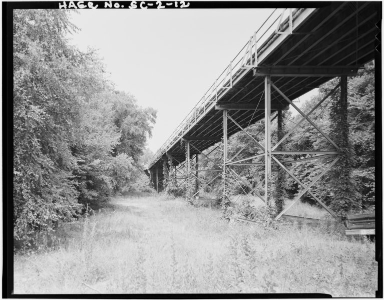
| Approaching span looking northwest from river to Georgia side - Sanders Ferry Bridge, State Highway 184, Spanning Savannah River, Iva, Anderson County, SC | ||||
|---|---|---|---|---|
| Photographer |
O'Kain, Dennis |
|||
| Title |
Approaching span looking northwest from river to Georgia side - Sanders Ferry Bridge, State Highway 184, Spanning Savannah River, Iva, Anderson County, SC |
|||
| Description |
Austin Bridge Company; Sherrard, W T, A; New York-Atlanta Highway Bridge Company; War Department |
|||
| Depicted place | South Carolina; Anderson County; Iva | |||
| Date | 1980 | |||
| Dimensions | 4 x 5 in. | |||
| Current location |
Library of Congress Prints and Photographs Division Washington, D.C. 20540 USA http://hdl.loc.gov/loc.pnp/pp.print |
|||
| Accession number |
HAER SC,4-SAVRI,1-12 |
|||
| Credit line |
|
|||
| Notes |
|
|||
| Source | https://www.loc.gov/pictures/item/sc0267.photos.150571p | |||
| Permission (Reusing this file) |
|
|||

| Object location | | View this and other nearby images on: OpenStreetMap |
|---|
File history
Click on a date/time to view the file as it appeared at that time.
| Date/Time | Thumbnail | Dimensions | User | Comment | |
|---|---|---|---|---|---|
| current | 07:33, 31 July 2014 |  | 5,000 × 3,907 (18.63 MB) | Fæ (talk | contribs) | GWToolset: Creating mediafile for Fæ. HABS 31 July 2014 (3201:3400) |
You cannot overwrite this file.
File usage on Commons
The following page uses this file: