File:Atwood Rich House, Ryder Beach Road, Truro, Barnstable County, MA HABS MASS,1-TRU,35-2.tif

Size of this JPG preview of this TIF file: 800 × 580 pixels. Other resolutions: 320 × 232 pixels | 640 × 464 pixels | 1,024 × 743 pixels | 1,280 × 929 pixels | 2,560 × 1,858 pixels | 5,000 × 3,628 pixels.
Original file (5,000 × 3,628 pixels, file size: 17.3 MB, MIME type: image/tiff)
Captions
Captions
Add a one-line explanation of what this file represents
Summary edit
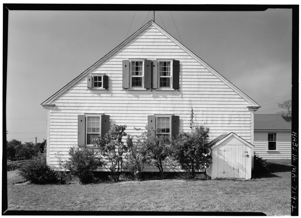
| - Atwood Rich House, Ryder Beach Road, Truro, Barnstable County, MA | ||||
|---|---|---|---|---|
| Title |
- Atwood Rich House, Ryder Beach Road, Truro, Barnstable County, MA |
|||
| Depicted place | Massachusetts; Barnstable County; Truro | |||
| Date | Documentation compiled after 1933 | |||
| Dimensions | 5 x 7 in. | |||
| Current location |
Library of Congress Prints and Photographs Division Washington, D.C. 20540 USA http://hdl.loc.gov/loc.pnp/pp.print |
|||
| Accession number |
HABS MASS,1-TRU,35-2 |
|||
| Credit line |
|
|||
| Notes |
|
|||
| Source | https://www.loc.gov/pictures/item/ma0057.photos.074060p | |||
| Permission (Reusing this file) |
|
|||

| Object location | | View this and other nearby images on: OpenStreetMap |
|---|
File history
Click on a date/time to view the file as it appeared at that time.
| Date/Time | Thumbnail | Dimensions | User | Comment | |
|---|---|---|---|---|---|
| current | 00:47, 20 July 2014 |  | 5,000 × 3,628 (17.3 MB) | Fæ (talk | contribs) | GWToolset: Creating mediafile for Fæ. HABS 20 July 2014 (1401:1600) |
You cannot overwrite this file.
File usage on Commons
The following 2 pages use this file: