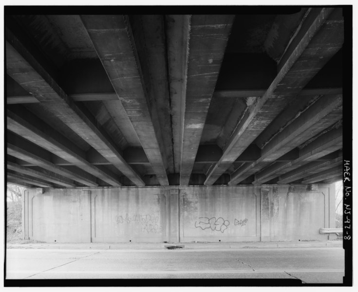
File:Bridge underside. View to west from east abutment. - River Drive Overpass, Spanning River Drive (County Route No. 507) at U.S. Route 46, Elmwood Park, Bergen County, NJ HAER NJ,2-EWPK,1-8.tif
Size of this JPG preview of this TIF file: 735 × 599 pixels. Other resolutions: 294 × 240 pixels | 589 × 480 pixels | 942 × 768 pixels | 1,256 × 1,024 pixels | 2,511 × 2,048 pixels | 5,000 × 4,078 pixels.
Original file (5,000 × 4,078 pixels, file size: 19.45 MB, MIME type: image/tiff)
Captions
Captions
Add a one-line explanation of what this file represents
Summary edit
| Bridge underside. View to west from east abutment. - River Drive Overpass, Spanning River Drive (County Route No. 507) at U.S. Route 46, Elmwood Park, Bergen County, NJ | ||||
|---|---|---|---|---|
| Photographer |
Tucher, Rob |
|||
| Title |
Bridge underside. View to west from east abutment. - River Drive Overpass, Spanning River Drive (County Route No. 507) at U.S. Route 46, Elmwood Park, Bergen County, NJ |
|||
| Depicted place | New Jersey; Bergen County; Elmwood Park | |||
| Date | 1993 | |||
| Dimensions | 4 x 5 in. | |||
| Current location |
Library of Congress Prints and Photographs Division Washington, D.C. 20540 USA http://hdl.loc.gov/loc.pnp/pp.print |
|||
| Accession number |
HAER NJ,2-EWPK,1-8 |
|||
| Credit line |
|
|||
| Notes |
|
|||
| Source | https://www.loc.gov/pictures/item/nj1530.photos.347522p | |||
| Permission (Reusing this file) |
|
|||

| Object location | | View this and other nearby images on: OpenStreetMap |
|---|
File history
Click on a date/time to view the file as it appeared at that time.
| Date/Time | Thumbnail | Dimensions | User | Comment | |
|---|---|---|---|---|---|
| current | 19:48, 28 July 2014 |  | 5,000 × 4,078 (19.45 MB) | Fæ (talk | contribs) | GWToolset: Creating mediafile for Fæ. HABS 24 July 2014 (2301:2600) |
You cannot overwrite this file.
File usage on Commons
The following page uses this file: