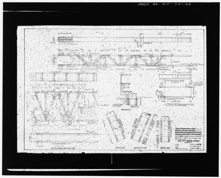
File:DETAILS OF LATTICE GIRDER AND TRUNNION POSTS Fort Pitt Bridge Works - Lower Bank Road Bridge, Spanning Mullica River, Egg Harbor City, Atlantic County, NJ HAER NJ,1-EGHA.V,1-29.tif

Size of this JPG preview of this TIF file: 746 × 599 pixels. Other resolutions: 299 × 240 pixels | 598 × 480 pixels | 956 × 768 pixels | 1,275 × 1,024 pixels | 2,550 × 2,048 pixels | 4,987 × 4,006 pixels.
Original file (4,987 × 4,006 pixels, file size: 19.06 MB, MIME type: image/tiff)
Captions
Captions
Add a one-line explanation of what this file represents
Summary edit
| DETAILS OF LATTICE GIRDER AND TRUNNION POSTS Fort Pitt Bridge Works - Lower Bank Road Bridge, Spanning Mullica River, Egg Harbor City, Atlantic County, NJ | ||||
|---|---|---|---|---|
| Photographer |
Related names:
|
|||
| Title |
DETAILS OF LATTICE GIRDER AND TRUNNION POSTS Fort Pitt Bridge Works - Lower Bank Road Bridge, Spanning Mullica River, Egg Harbor City, Atlantic County, NJ |
|||
| Depicted place | New Jersey; Atlantic County; Egg Harbor City | |||
| Date | Documentation compiled after 1968 | |||
| Dimensions | height: 4 in (10.1 cm); width: 5 in (12.7 cm) | |||
| Current location |
Library of Congress Prints and Photographs Division Washington, D.C. 20540 USA http://hdl.loc.gov/loc.pnp/pp.print |
|||
| Accession number |
HAER NJ,1-EGHA.V,1-29 |
|||
| Credit line |
|
|||
| Notes |
|
|||
| Source | https://www.loc.gov/pictures/item/nj1243.photos.107164p | |||
| Permission (Reusing this file) |
|
|||

| Object location | | View this and other nearby images on: OpenStreetMap |
|---|
File history
Click on a date/time to view the file as it appeared at that time.
| Date/Time | Thumbnail | Dimensions | User | Comment | |
|---|---|---|---|---|---|
| current | 18:27, 28 July 2014 |  | 4,987 × 4,006 (19.06 MB) | Fæ (talk | contribs) | GWToolset: Creating mediafile for Fæ. HABS 24 July 2014 (2301:2600) |
You cannot overwrite this file.
File usage on Commons
The following page uses this file: