File:DETAIL FROM NORTHWEST OF TOMBS OF JOEL ROBERTS POINSETT AND WIFE, TO SOUTHEAST OF CHURCH HABS SC, 43-STATBU. V, 1A-8 - Church of the Holy Cross, State Route 261, Stateburg, HABS SC,43-STATBU.V,1-47.tif
Size of this JPG preview of this TIF file: 800 × 576 pixels. Other resolutions: 320 × 231 pixels | 640 × 461 pixels | 1,024 × 738 pixels | 1,280 × 922 pixels | 2,560 × 1,845 pixels | 5,000 × 3,603 pixels.
Original file (5,000 × 3,603 pixels, file size: 17.18 MB, MIME type: image/tiff)
Captions
Captions
Add a one-line explanation of what this file represents
Summary edit
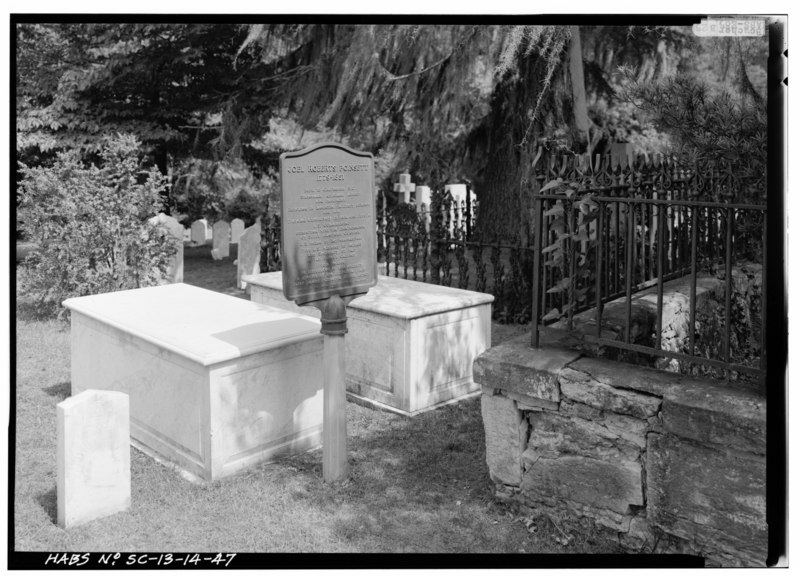
| DETAIL FROM NORTHWEST OF TOMBS OF JOEL ROBERTS POINSETT AND WIFE, TO SOUTHEAST OF CHURCH HABS SC, 43-STATBU. V, 1A-8 - Church of the Holy Cross, State Route 261, Stateburg, Sumter County, SC | ||||
|---|---|---|---|---|
| Photographer |
Boucher, Jack E. |
|||
| Title |
DETAIL FROM NORTHWEST OF TOMBS OF JOEL ROBERTS POINSETT AND WIFE, TO SOUTHEAST OF CHURCH HABS SC, 43-STATBU. V, 1A-8 - Church of the Holy Cross, State Route 261, Stateburg, Sumter County, SC |
|||
| Description |
Jones, Edward C; Lee, Francis D; Anderson, William Wallace; Cary, Brian, transmitter |
|||
| Depicted place | South Carolina; Sumter County; Stateburg | |||
| Date | 1985 | |||
| Dimensions | height: 5 in (12.7 cm); width: 7 in (17.7 cm) | |||
| Current location |
Library of Congress Prints and Photographs Division Washington, D.C. 20540 USA http://hdl.loc.gov/loc.pnp/pp.print |
|||
| Accession number |
HABS SC,43-STATBU.V,1-47 |
|||
| Credit line |
|
|||
| Notes |
|
|||
| References |
|
|||
| Source | https://www.loc.gov/pictures/item/sc0088.photos.151120p | |||
| Permission (Reusing this file) |
|
|||

| Object location | | View this and other nearby images on: OpenStreetMap |
|---|
File history
Click on a date/time to view the file as it appeared at that time.
| Date/Time | Thumbnail | Dimensions | User | Comment | |
|---|---|---|---|---|---|
| current | 00:04, 2 August 2014 |  | 5,000 × 3,603 (17.18 MB) | Fæ (talk | contribs) | GWToolset: Creating mediafile for Fæ. HABS 31 July 2014 (3000:3200) |
You cannot overwrite this file.
File usage on Commons
The following 2 pages use this file:
File usage on other wikis
The following other wikis use this file:
- Usage on fr.wikipedia.org
- Usage on www.wikidata.org