File:DETAIL OF A SIDE ENTRANCE, SOUTH ELEVATION - City Hall, 601 West Jefferson Street, Louisville, Jefferson County, KY HABS KY,56-LOUVI,16-5.tif

Size of this JPG preview of this TIF file: 436 × 599 pixels. Other resolutions: 175 × 240 pixels | 349 × 480 pixels | 559 × 768 pixels | 745 × 1,024 pixels | 1,491 × 2,048 pixels | 3,640 × 5,000 pixels.
Original file (3,640 × 5,000 pixels, file size: 17.36 MB, MIME type: image/tiff)
Captions
Captions
Add a one-line explanation of what this file represents
| DETAIL OF A SIDE ENTRANCE, SOUTH ELEVATION - City Hall, 601 West Jefferson Street, Louisville, Jefferson County, KY | ||||
|---|---|---|---|---|
| Title |
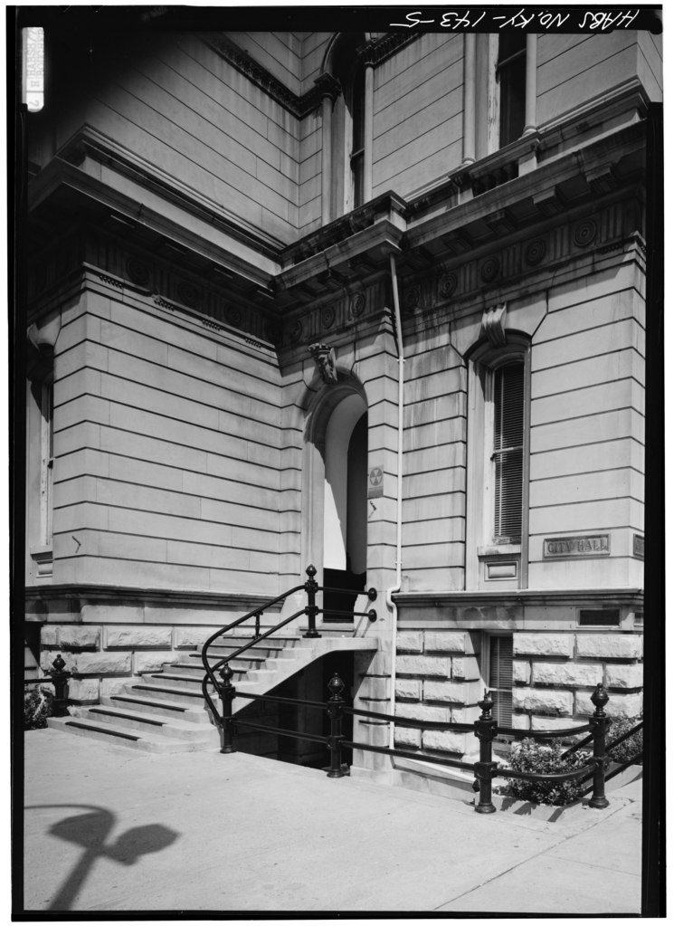
DETAIL OF A SIDE ENTRANCE, SOUTH ELEVATION - City Hall, 601 West Jefferson Street, Louisville, Jefferson County, KY |
|||
| Description |
Andrewartha, John; Mergell; Luckett, Thomas D; Jandoli, Liz, transmitter |
|||
| Depicted place | Kentucky; Jefferson County; Louisville | |||
| Date | Documentation compiled after 1933 | |||
| Dimensions | height: 7 in (17.7 cm); width: 5 in (12.7 cm) | |||
| Current location |
Library of Congress Prints and Photographs Division Washington, D.C. 20540 USA http://hdl.loc.gov/loc.pnp/pp.print |
|||
| Accession number |
HABS KY,56-LOUVI,16-5 |
|||
| Credit line |
|
|||
| Notes |
|
|||
| Source | https://www.loc.gov/pictures/item/ky0010.photos.070880p | |||
| Permission (Reusing this file) |
|
|||

| Object location | | View this and other nearby images on: OpenStreetMap |
|---|
File history
Click on a date/time to view the file as it appeared at that time.
| Date/Time | Thumbnail | Dimensions | User | Comment | |
|---|---|---|---|---|---|
| current | 14:05, 19 July 2014 |  | 3,640 × 5,000 (17.36 MB) | Fæ (talk | contribs) | GWToolset: Creating mediafile for Fæ. HABS 16 July 2014 (1201:1400) |
You cannot overwrite this file.
File usage on Commons
The following page uses this file:
File usage on other wikis
The following other wikis use this file: