File:DETAIL OF STRINGERS AND DECK FROM BELOW - State Bridge No. 424, Wiggins Mill Road (Road 446) spanning Wiggins Mill Pond Outlet, Townsend, New Castle County, DE HAER DEL,2-TOWSE,2-8.tif
Size of this JPG preview of this TIF file: 744 × 599 pixels. Other resolutions: 298 × 240 pixels | 596 × 480 pixels | 954 × 768 pixels | 1,272 × 1,024 pixels | 2,543 × 2,048 pixels | 5,056 × 4,072 pixels.
Original file (5,056 × 4,072 pixels, file size: 19.64 MB, MIME type: image/tiff)
Captions
Captions
Add a one-line explanation of what this file represents
Summary edit
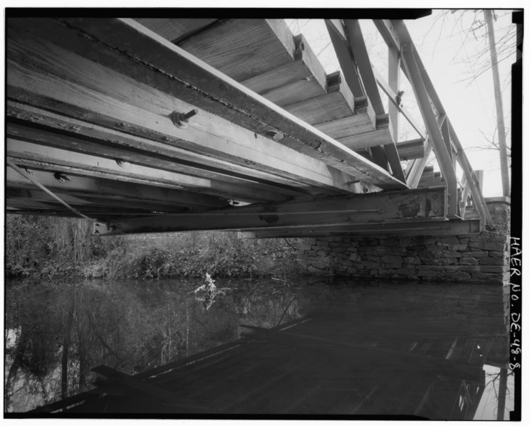
| DETAIL OF STRINGERS AND DECK FROM BELOW - State Bridge No. 424, Wiggins Mill Road (Road 446) spanning Wiggins Mill Pond Outlet, Townsend, New Castle County, DE | |||||
|---|---|---|---|---|---|
| Photographer |
Tucher, Rob Related names:
|
||||
| Title |
DETAIL OF STRINGERS AND DECK FROM BELOW - State Bridge No. 424, Wiggins Mill Road (Road 446) spanning Wiggins Mill Pond Outlet, Townsend, New Castle County, DE |
||||
| Depicted place | Delaware; New Castle County; Townsend | ||||
| Date | 1996 | ||||
| Dimensions | 4 x 5 in. | ||||
| Current location |
Library of Congress Prints and Photographs Division Washington, D.C. 20540 USA http://hdl.loc.gov/loc.pnp/pp.print |
||||
| Accession number |
HAER DEL,2-TOWSE,2-8 |
||||
| Credit line |
|
||||
| Notes |
|
||||
| Source | https://www.loc.gov/pictures/item/de0461.photos.384095p | ||||
| Permission (Reusing this file) |
|
||||

| Object location | | View this and other nearby images on: OpenStreetMap |
|---|
File history
Click on a date/time to view the file as it appeared at that time.
| Date/Time | Thumbnail | Dimensions | User | Comment | |
|---|---|---|---|---|---|
| current | 00:40, 11 July 2014 |  | 5,056 × 4,072 (19.64 MB) | Fæ (talk | contribs) | GWToolset: Creating mediafile for Fæ. HABS 09 July 2014 (801:1000) |
You cannot overwrite this file.
File usage on Commons
The following page uses this file: