File:DETAIL VIEW OF BOTTOM CHORD TAKEN FROM BRIDGE DECK - Lover's Leap Lenticular Bridge, Spanning Housatonic River on Pumpkin Hill Road, New Milford, Litchfield County, CT HAER CONN,3-NEMI,2-7.tif

Size of this JPG preview of this TIF file: 800 × 574 pixels. Other resolutions: 320 × 230 pixels | 640 × 459 pixels | 1,024 × 735 pixels | 1,280 × 918 pixels | 2,560 × 1,837 pixels | 5,166 × 3,706 pixels.
Original file (5,166 × 3,706 pixels, file size: 18.26 MB, MIME type: image/tiff)
Captions
Captions
Add a one-line explanation of what this file represents
Summary edit
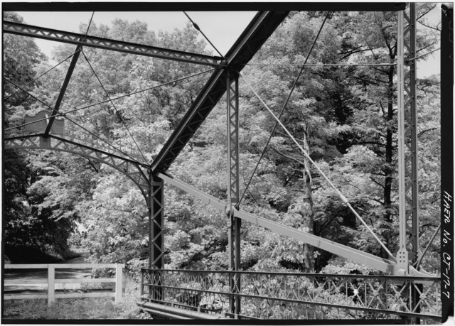
| DETAIL VIEW OF BOTTOM CHORD TAKEN FROM BRIDGE DECK - Lover's Leap Lenticular Bridge, Spanning Housatonic River on Pumpkin Hill Road, New Milford, Litchfield County, CT | ||||
|---|---|---|---|---|
| Photographer |
Lowe, Jet Related names:
|
|||
| Title |
DETAIL VIEW OF BOTTOM CHORD TAKEN FROM BRIDGE DECK - Lover's Leap Lenticular Bridge, Spanning Housatonic River on Pumpkin Hill Road, New Milford, Litchfield County, CT |
|||
| Depicted place | Connecticut; Litchfield County; New Milford | |||
| Date | 1984 | |||
| Dimensions | 5 x 7 in. | |||
| Current location |
Library of Congress Prints and Photographs Division Washington, D.C. 20540 USA http://hdl.loc.gov/loc.pnp/pp.print |
|||
| Accession number |
HAER CONN,3-NEMI,2-7 |
|||
| Credit line |
|
|||
| Notes |
|
|||
| Source | https://www.loc.gov/pictures/item/ct0374.photos.023561p | |||
| Permission (Reusing this file) |
|
|||

| Object location | | View this and other nearby images on: OpenStreetMap |
|---|
File history
Click on a date/time to view the file as it appeared at that time.
| Date/Time | Thumbnail | Dimensions | User | Comment | |
|---|---|---|---|---|---|
| current | 05:17, 8 July 2014 |  | 5,166 × 3,706 (18.26 MB) | Fæ (talk | contribs) | GWToolset: Creating mediafile for Fæ. HABS 06 July 2014 (611:700) |
You cannot overwrite this file.
File usage on Commons
The following page uses this file: