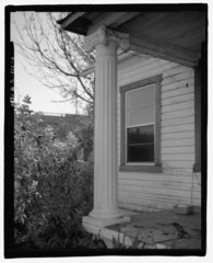
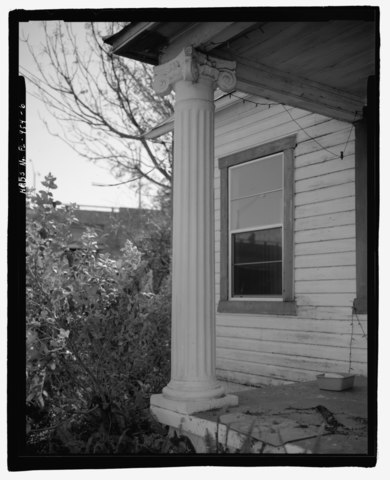
File:Detail view of column of 603 East Palm Avenue, facing southeast. - 603 East Palm Avenue (House), Tampa, Hillsborough County, FL HABS FL-454-6.tif

Size of this JPG preview of this TIF file: 487 × 600 pixels. Other resolutions: 195 × 240 pixels | 390 × 480 pixels | 624 × 768 pixels | 832 × 1,024 pixels | 1,663 × 2,048 pixels | 4,366 × 5,375 pixels.
Original file (4,366 × 5,375 pixels, file size: 22.38 MB, MIME type: image/tiff)
Captions
Captions
Add a one-line explanation of what this file represents
Summary edit
| Detail view of column of 603 East Palm Avenue, facing southeast. - 603 East Palm Avenue (House), Tampa, Hillsborough County, FL | ||||
|---|---|---|---|---|
| Photographer |
Koepnick, Brian Related names:
|
|||
| Title |
Detail view of column of 603 East Palm Avenue, facing southeast. - 603 East Palm Avenue (House), Tampa, Hillsborough County, FL |
|||
| Depicted place | Florida; Hillsborough County; Tampa | |||
| Date | 2002 | |||
| Dimensions | 4 x 5 in. | |||
| Current location |
Library of Congress Prints and Photographs Division Washington, D.C. 20540 USA http://hdl.loc.gov/loc.pnp/pp.print |
|||
| Accession number |
HABS FL-454-6 |
|||
| Credit line |
|
|||
| Notes |
|
|||
| References |
|
|||
| Source | https://www.loc.gov/pictures/item/fl0511.photos.207604p | |||
| Permission (Reusing this file) |
|
|||

| Object location | | View this and other nearby images on: OpenStreetMap |
|---|
File history
Click on a date/time to view the file as it appeared at that time.
| Date/Time | Thumbnail | Dimensions | User | Comment | |
|---|---|---|---|---|---|
| current | 15:23, 12 July 2014 |  | 4,366 × 5,375 (22.38 MB) | Fæ (talk | contribs) | GWToolset: Creating mediafile for Fæ. HABS 09 July 2014 (801:1000) |
You cannot overwrite this file.
File usage on Commons
The following page uses this file: