File:Detail view of the north elevation to show window, with scale (note tabby beneath stucco) - Stafford Plantation, Playhouse, Saint Marys, Camden County, GA HABS GA-2360-A-9.tif
Size of this JPG preview of this TIF file: 438 × 600 pixels. Other resolutions: 175 × 240 pixels | 350 × 480 pixels | 561 × 768 pixels | 748 × 1,024 pixels | 1,496 × 2,048 pixels | 3,767 × 5,157 pixels.
Original file (3,767 × 5,157 pixels, file size: 18.53 MB, MIME type: image/tiff)
Captions
Captions
Add a one-line explanation of what this file represents
Summary edit
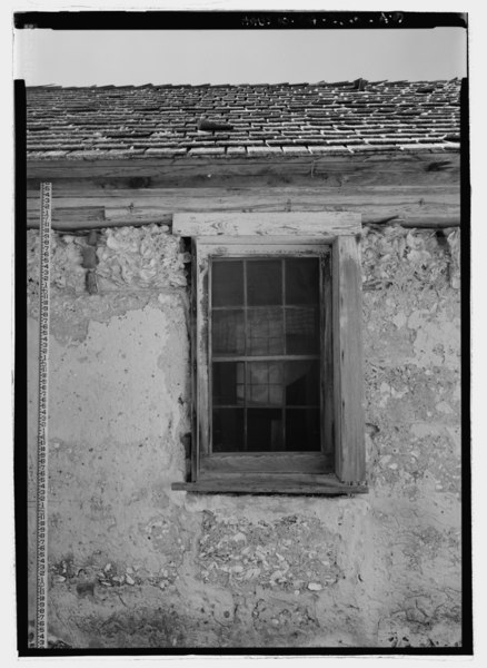
| Detail view of the north elevation to show window, with scale (note tabby beneath stucco) - Stafford Plantation, Playhouse, Saint Marys, Camden County, GA | ||||
|---|---|---|---|---|
| Photographer |
Related names:
|
|||
| Title |
Detail view of the north elevation to show window, with scale (note tabby beneath stucco) - Stafford Plantation, Playhouse, Saint Marys, Camden County, GA |
|||
| Depicted place | Georgia; Camden County; Saint Marys | |||
| Date | Documentation compiled after 1933 | |||
| Dimensions | 5 x 7 in. | |||
| Current location |
Library of Congress Prints and Photographs Division Washington, D.C. 20540 USA http://hdl.loc.gov/loc.pnp/pp.print |
|||
| Accession number |
HABS GA-2360-A-9 |
|||
| Credit line |
|
|||
| Notes |
|
|||
| Source | https://www.loc.gov/pictures/item/ga0918.photos.208806p | |||
| Permission (Reusing this file) |
|
|||

| Object location | | View this and other nearby images on: OpenStreetMap |
|---|
File history
Click on a date/time to view the file as it appeared at that time.
| Date/Time | Thumbnail | Dimensions | User | Comment | |
|---|---|---|---|---|---|
| current | 11:52, 15 July 2014 |  | 3,767 × 5,157 (18.53 MB) | Fæ (talk | contribs) | GWToolset: Creating mediafile for Fæ. HABS 09 July 2014 (801:1000) |
You cannot overwrite this file.
File usage on Commons
The following page uses this file: