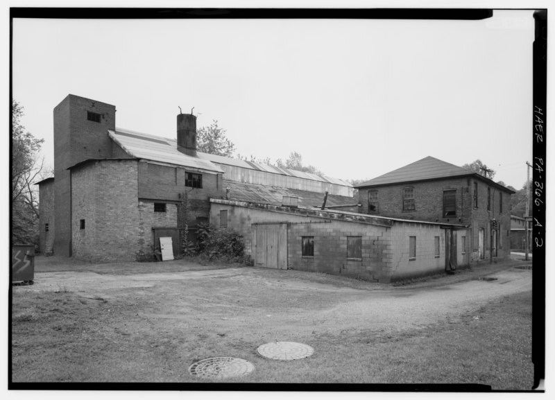
File:ELEVATION OF FOUNDRY AND PATTERN WAREHOUSE, LOOKING EAST - Ricks Foundry, Foundry Building, Miller Avenue off South Mount Vernon Street, Uniontown, Fayette County, PA HAER PA,26-UNITO,1A-2.tif
Size of this JPG preview of this TIF file: 800 × 577 pixels. Other resolutions: 320 × 231 pixels | 640 × 462 pixels | 1,024 × 739 pixels | 1,280 × 923 pixels | 2,560 × 1,847 pixels | 5,000 × 3,607 pixels.
Original file (5,000 × 3,607 pixels, file size: 17.2 MB, MIME type: image/tiff)
Captions
Captions
Add a one-line explanation of what this file represents
Summary edit
| ELEVATION OF FOUNDRY AND PATTERN WAREHOUSE, LOOKING EAST - Ricks Foundry, Foundry Building, Miller Avenue off South Mount Vernon Street, Uniontown, Fayette County, PA | ||||
|---|---|---|---|---|
| Photographer |
Lowe, Jet Related names:
|
|||
| Title |
ELEVATION OF FOUNDRY AND PATTERN WAREHOUSE, LOOKING EAST - Ricks Foundry, Foundry Building, Miller Avenue off South Mount Vernon Street, Uniontown, Fayette County, PA |
|||
| Description |
America's Industrial Heritage Project (AIHP), sponsor; Madrid, transmitter; Lowe, Jet, photographer |
|||
| Depicted place | Pennsylvania; Fayette County; Uniontown | |||
| Date | 1993 | |||
| Dimensions | 5 x 7 in. | |||
| Current location |
Library of Congress Prints and Photographs Division Washington, D.C. 20540 USA http://hdl.loc.gov/loc.pnp/pp.print |
|||
| Accession number |
HAER PA,26-UNITO,1A-2 |
|||
| Credit line |
|
|||
| Notes |
|
|||
| Source | https://www.loc.gov/pictures/item/pa3215.photos.358634p | |||
| Permission (Reusing this file) |
|
|||

| Object location | | View this and other nearby images on: OpenStreetMap |
|---|
File history
Click on a date/time to view the file as it appeared at that time.
| Date/Time | Thumbnail | Dimensions | User | Comment | |
|---|---|---|---|---|---|
| current | 00:36, 1 August 2014 |  | 5,000 × 3,607 (17.2 MB) | Fæ (talk | contribs) | GWToolset: Creating mediafile for Fæ. HABS 31 July 2014 (3000:3200) |
You cannot overwrite this file.
File usage on Commons
The following page uses this file: