File:Elevated overview of Facility Nos. B-1 and N-2, showing crane tracks, view facing north - U.S. Naval Base, Pearl Harbor, South Quay Wall and Repair Wharf, L-shaped portion of quay walls HABS HI-514-5.tif
Size of this JPG preview of this TIF file: 740 × 599 pixels. Other resolutions: 296 × 240 pixels | 593 × 480 pixels | 948 × 768 pixels | 1,265 × 1,024 pixels | 2,529 × 2,048 pixels | 5,275 × 4,272 pixels.
Original file (5,275 × 4,272 pixels, file size: 21.49 MB, MIME type: image/tiff)
Captions
Captions
Add a one-line explanation of what this file represents
Summary edit
| Photographer |
Franzen, David |
|||
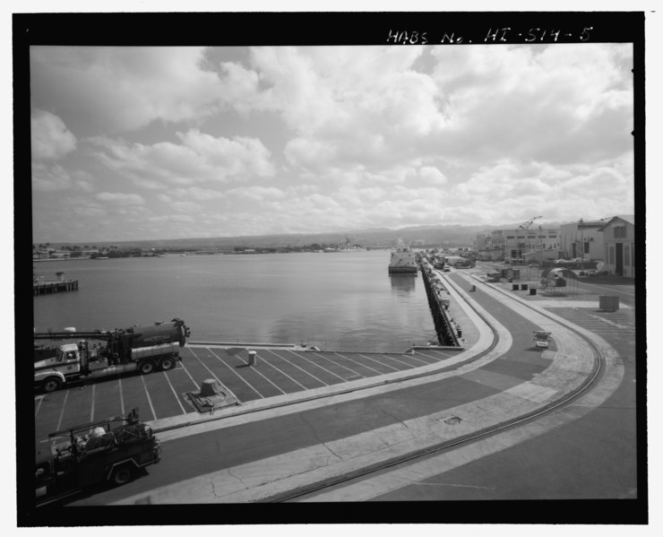
| Title |
Elevated overview of Facility Nos. B-1 and N-2, showing crane tracks, view facing north - U.S. Naval Base, Pearl Harbor, South Quay Wall and Repair Wharf, L-shaped portion of quay walls starting at east side of mouth of Dry Dock No. 1, continuing along ocean side of Sixth Street, adjacent to Pier B-2, Pearl City, Honolulu County, HI |
|||
| Depicted place | Hawaii; Honolulu County; Pearl City | |||
| Date | 2001 | |||
| Dimensions | 4 x 5 in. | |||
| Current location |
Library of Congress Prints and Photographs Division Washington, D.C. 20540 USA http://hdl.loc.gov/loc.pnp/pp.print |
|||
| Accession number |
HABS HI-514-5 |
|||
| Credit line |
|
|||
| Notes |
|
|||
| References |
|
|||
| Source | https://www.loc.gov/pictures/item/hi0799.photos.367401p | |||
| Permission (Reusing this file) |
|

| Object location | | View this and other nearby images on: OpenStreetMap |
|---|
File history
Click on a date/time to view the file as it appeared at that time.
| Date/Time | Thumbnail | Dimensions | User | Comment | |
|---|---|---|---|---|---|
| current | 22:00, 12 July 2014 |  | 5,275 × 4,272 (21.49 MB) | Fæ (talk | contribs) | GWToolset: Creating mediafile for Fæ. HABS 11 July 2014 (1001:1200) |
You cannot overwrite this file.
File usage on Commons
The following page uses this file: