File:Entry to passage way, looking southwest - Pointed Butte Pueblito, Cibola Canyon, Dulce, Rio Arriba County, NM HABS NM-186-6.tif
Size of this JPG preview of this TIF file: 481 × 599 pixels. Other resolutions: 193 × 240 pixels | 385 × 480 pixels | 617 × 768 pixels | 822 × 1,024 pixels | 1,645 × 2,048 pixels | 4,300 × 5,354 pixels.
Original file (4,300 × 5,354 pixels, file size: 21.96 MB, MIME type: image/tiff)
Captions
Captions
Add a one-line explanation of what this file represents
Summary edit
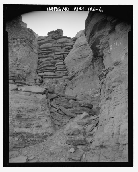
| Entry to passage way, looking southwest - Pointed Butte Pueblito, Cibola Canyon, Dulce, Rio Arriba County, NM | ||||
|---|---|---|---|---|
| Photographer |
Thallheimer, Arnold |
|||
| Title |
Entry to passage way, looking southwest - Pointed Butte Pueblito, Cibola Canyon, Dulce, Rio Arriba County, NM |
|||
| Depicted place | New Mexico; Rio Arriba County; Dulce | |||
| Date | 1993 | |||
| Dimensions | 4 x 5 in. | |||
| Current location |
Library of Congress Prints and Photographs Division Washington, D.C. 20540 USA http://hdl.loc.gov/loc.pnp/pp.print |
|||
| Accession number |
HABS NM-186-6 |
|||
| Credit line |
|
|||
| Notes |
|
|||
| Source | https://www.loc.gov/pictures/item/nm0212.photos.363500p | |||
| Permission (Reusing this file) |
|
|||

| Object location | | View this and other nearby images on: OpenStreetMap |
|---|
File history
Click on a date/time to view the file as it appeared at that time.
| Date/Time | Thumbnail | Dimensions | User | Comment | |
|---|---|---|---|---|---|
| current | 00:07, 29 July 2014 |  | 4,300 × 5,354 (21.96 MB) | Fæ (talk | contribs) | GWToolset: Creating mediafile for Fæ. HABS 24 July 2014 (2301:2600) |
You cannot overwrite this file.
File usage on Commons
The following page uses this file: