File:Facility 171 - Interior view of second floor shower room, showing original tile and metal ventilation louvers - U.S. Naval Base, Pearl Harbor, Latrine Dry Dock No. 2 and Latrine Dry HABS HI-482-14.tif

Size of this JPG preview of this TIF file: 481 × 600 pixels. Other resolutions: 192 × 240 pixels | 385 × 480 pixels | 616 × 768 pixels | 821 × 1,024 pixels | 1,642 × 2,048 pixels | 4,002 × 4,990 pixels.
Original file (4,002 × 4,990 pixels, file size: 38.11 MB, MIME type: image/tiff)
Captions
Captions
Add a one-line explanation of what this file represents
Summary edit
| Photographer |
Franzen, David |
|||
| Title |
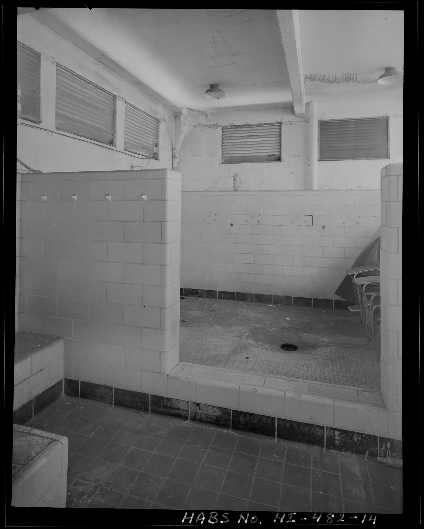
Facility 171 - Interior view of second floor shower room, showing original tile and metal ventilation louvers - U.S. Naval Base, Pearl Harbor, Latrine Dry Dock No. 2 and Latrine Dry Dock No.3, Near Avenue G adjacent to Dry Dock No. 2 and Dry Dock No. 3, Pearl City, Honolulu County, HI |
|||
| Depicted place | Hawaii; Honolulu County; Pearl City | |||
| Date | Documentation compiled after 1933 | |||
| Dimensions | 4 x 5 in. | |||
| Current location |
Library of Congress Prints and Photographs Division Washington, D.C. 20540 USA http://hdl.loc.gov/loc.pnp/pp.print |
|||
| Accession number |
HABS HI-482-14 |
|||
| Credit line |
|
|||
| Notes |
|
|||
| References |
|
|||
| Source | https://www.loc.gov/pictures/item/hi0755.photos.576327p | |||
| Permission (Reusing this file) |
|

| Object location | | View this and other nearby images on: OpenStreetMap |
|---|
File history
Click on a date/time to view the file as it appeared at that time.
| Date/Time | Thumbnail | Dimensions | User | Comment | |
|---|---|---|---|---|---|
| current | 18:49, 12 July 2014 |  | 4,002 × 4,990 (38.11 MB) | Fæ (talk | contribs) | GWToolset: Creating mediafile for Fæ. HABS 11 July 2014 (1001:1200) |
You cannot overwrite this file.
File usage on Commons
The following page uses this file: