File:GENERAL SIDE (SOUTH ELEVATION) AND REAR VIEW (EAST) - Lawrence County Courthouse, Courthouse Square bounded by Main HABS ALA,40-MOULT,1-2.tif

Size of this JPG preview of this TIF file: 800 × 578 pixels. Other resolutions: 320 × 231 pixels | 640 × 462 pixels | 1,024 × 740 pixels | 1,280 × 924 pixels | 2,560 × 1,849 pixels | 5,000 × 3,611 pixels.
Original file (5,000 × 3,611 pixels, file size: 17.22 MB, MIME type: image/tiff)
Captions
Captions
Add a one-line explanation of what this file represents
Summary edit
| Title |
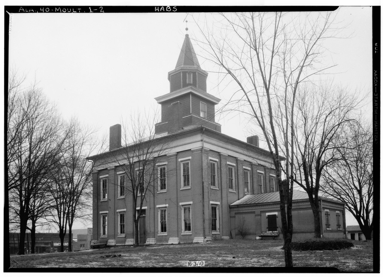
Historic American Buildings Survey W. N. Manning, Photographer, March 11, 1934. GENERAL SIDE (SOUTH ELEVATION) AND REAR VIEW (EAST) - Lawrence County Courthouse, Courthouse Square bounded by Main Street, Lawrence Street, Market Street and Court Street, Moulton, Lawrence County, AL |
|||
| Depicted place | Alabama; Lawrence County; Moulton | |||
| Date | Documentation compiled after 1933 | |||
| Medium | 5 x 7 in. | |||
| Current location |
Library of Congress Prints and Photographs Division Washington, D.C. 20540 USA http://hdl.loc.gov/loc.pnp/pp.print |
|||
| Accession number |
HABS ALA,40-MOULT,1-2 |
|||
| Credit line |
|
|||
| Notes |
|
|||
| Source | https://www.loc.gov/pictures/item/al0274.photos.003193p | |||
| Permission (Reusing this file) |
|

| Camera location | | View this and other nearby images on: OpenStreetMap |
|---|
File history
Click on a date/time to view the file as it appeared at that time.
| Date/Time | Thumbnail | Dimensions | User | Comment | |
|---|---|---|---|---|---|
| current | 15:11, 28 June 2014 |  | 5,000 × 3,611 (17.22 MB) | Fæ (talk | contribs) | GWToolset: Creating mediafile for Fæ. HABS batch upload restart 26 June 2014 (p21:101)x |
You cannot overwrite this file.
File usage on Commons
The following page uses this file: