File:GENERAL VIEW LOOKING SOUTHWEST SHOWING NORTH AND EAST FACADES, SOUTH SIDE OF WEST KENNEDY STREET. - 168 1-2 West Kennedy Sreet (House, Addition), Tucson, Pima County, AZ HABS ARIZ,10-TUCSO,30-14-1.tif

Size of this JPG preview of this TIF file: 748 × 600 pixels. Other resolutions: 299 × 240 pixels | 599 × 480 pixels | 958 × 768 pixels | 1,277 × 1,024 pixels | 2,553 × 2,048 pixels | 4,917 × 3,944 pixels.
Original file (4,917 × 3,944 pixels, file size: 18.5 MB, MIME type: image/tiff)
Captions
Captions
Add a one-line explanation of what this file represents
Summary edit
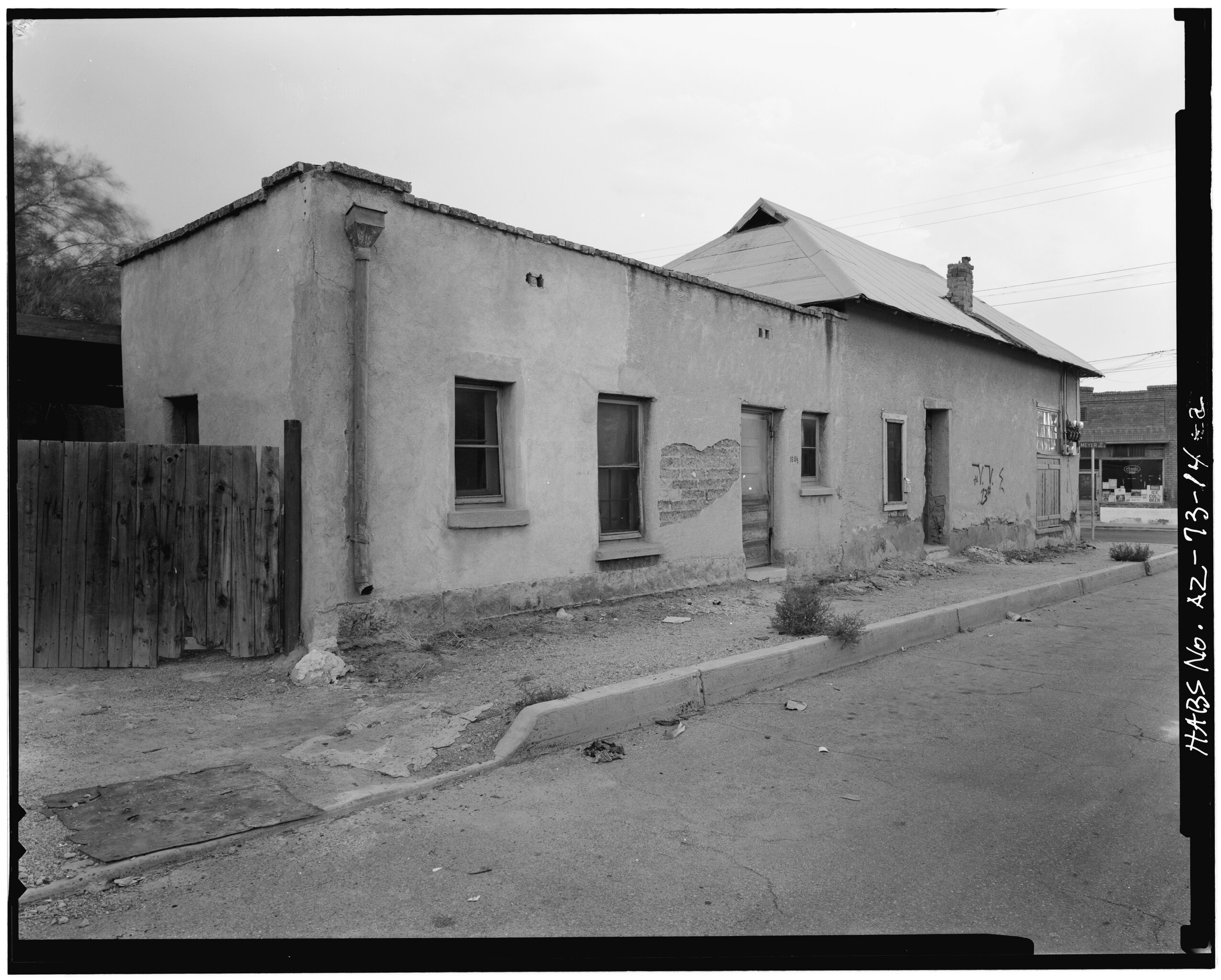
| GENERAL VIEW LOOKING SOUTHWEST SHOWING NORTH AND EAST FACADES, SOUTH SIDE OF WEST KENNEDY STREET. - 168 1-2 West Kennedy Sreet (House, Addition), Tucson, Pima County, AZ | ||||
|---|---|---|---|---|
| Photographer |
Related names:
|
|||
| Title |
GENERAL VIEW LOOKING SOUTHWEST SHOWING NORTH AND EAST FACADES, SOUTH SIDE OF WEST KENNEDY STREET. - 168 1-2 West Kennedy Sreet (House, Addition), Tucson, Pima County, AZ |
|||
| Depicted place | Arizona; Pima County; Tucson | |||
| Date | Documentation compiled after 1933 | |||
| Dimensions | 4 x 5 in. | |||
| Current location |
Library of Congress Prints and Photographs Division Washington, D.C. 20540 USA http://hdl.loc.gov/loc.pnp/pp.print |
|||
| Accession number |
HABS ARIZ,10-TUCSO,30-14-1 |
|||
| Credit line |
|
|||
| Notes |
|
|||
| References |
|
|||
| Source | https://www.loc.gov/pictures/item/az0080.photos.008081p | |||
| Permission (Reusing this file) |
|
|||

| Camera location | | View this and other nearby images on: OpenStreetMap |
|---|
File history
Click on a date/time to view the file as it appeared at that time.
| Date/Time | Thumbnail | Dimensions | User | Comment | |
|---|---|---|---|---|---|
| current | 03:09, 28 June 2014 |  | 4,917 × 3,944 (18.5 MB) | Fæ (talk | contribs) | GWToolset: Creating mediafile for Fæ. HABS batch upload 26 June 2014 (151:200) |
You cannot overwrite this file.
File usage on Commons
The following page uses this file: