File:General Rules in the Science of Measurement WDL4296.pdf

Size of this JPG preview of this PDF file: 427 × 599 pixels. Other resolutions: 171 × 240 pixels | 342 × 480 pixels | 900 × 1,262 pixels.

Original file (900 × 1,262 pixels, file size: 2.63 MB, MIME type: application/pdf, 37 pages)
Captions
Captions
Add a one-line explanation of what this file represents
Summary
edit| Author |
Русский: Айяд, Мухаммад, работал в XVII веке?
Français : 'Ayyād, Muḥammad, actif vers le XVIIe siècle
English: ʻAyyād, Muḥammad, active 17th century?
中文:阿亚德,穆罕默德,可能活跃在 17 世纪
Português: ʻAyyād, Muḥammad, ativo no século XVII?
العربية: عياد، محمد، نَشِط في القرن السابع عشر؟
Español: ʻAyyād, Muḥammad, en actividad circa siglo XVII |
| Title |
Русский: Общие правила науки об измерениях
Français : Règles générales de la science des mesures
English: General Rules in the Science of Measurement
中文:测量学的一般规则
Português: Regras gerais da ciência da medição
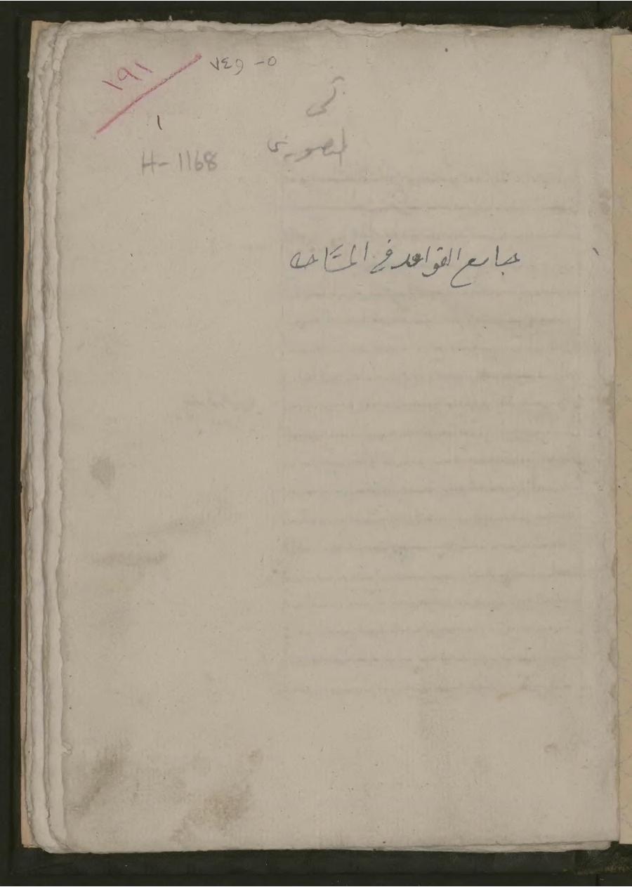
العربية: جامع القواعد في علم المساحة
Español: Reglas generales en la ciencia de la medición |
| Description |
Русский: Эта рукопись, датируемая примерно XVII веком, содержит только один раздел работы, которая, видимо, представляла собой обширный законченный трактат по практической геометрии. В заголовке на второй странице рукописи утверждается, что это "третий раздел книги об общих правилах науки об измерениях". Полная работа, частью которой является эта рукопись, состояла из четырех вступительных очерков, пяти глав и заключительной части. Автор рукописи неизвестен, поскольку начальная часть трактата, в которой обычно указываются сведения об авторстве, в настоящее время утрачена. Неизвестно также и то, были ли остальные части книги выполнены в виде отдельных томов или входили в состав данной рукописи, так как нумерация листов, начинающаяся с единицы, была, очевидно, добавлена в более позднее время. В работе представлено обстоятельное изложение основ евклидовой планиметрии. Четыре мукаддимат (вступительные части) знакомят читателя с названиями и определениями геометрических объектов. Текст рукописи посвящен точному определению размеров и формы Земли, отметке точек на земной поверхности для составления карт и изучению земных гравитационных полей. В состав рукописи входят только три главы третьего раздела. На последней странице содержится выполненное другим шрифтом примечание об измерениях при помощи различных вариантов такой меры длины, как локоть. Судя по многочисленным геометрическим чертежам, сопровождающим теоретические разъяснения, работа была написана в учебных целях. Во многих случаях эти чертежи, выполненные красными чернилами, сопровождаются толкованием специальных терминов, применимых к соответствующей фигуре, и примерами измерений.
Арабские рукописи; Земля; Геодезия; Гравитационные поля; Математика, арабская Français : Ce manuscrit, datant probablement du XVIIe siècle, ne contient qu'une partie de ce qui semble avoir été un traité complet et approfondi sur la géométrie pratique. Le titre figurant sur la seconde page du manuscrit indique qu'il s'agit en réalité de « la troisième partie du livre Règles générales de la science des mesures ». L'ouvrage entier auquel appartient ce manuscrit comporte quatre essais introductifs, cinq chapitres et une conclusion. L'auteur reste inconnu, car le début du traité, où se trouvaient vraisemblablement les indications concernant son auteur, a disparu. En outre, il est difficile de déterminer si les autres parties du livre étaient publiées dans des volumes distincts ou si elles faisaient partie de l'exemplaire présenté ici, car la numérotation des feuillets, commençant ici par le nombre un, semble avoir été ajoutée au texte à une date ultérieure. L'ouvrage contient un programme complet de géométrie plane euclidienne. Les quatre muqaddimāt (introductions) présentent au lecteur les noms et les définitions des entités géométriques. Le texte aborde les mesures précises de la taille et de la forme de la Terre, les points de cartographie de sa surface et l'étude de ses champs gravitationnels. Seulement trois chapitres du manuscrit sont consacrés à ce troisième thème. La dernière page contient une note, d'une écriture différente, sur les mesures avec différents types de coudée. Les nombreux dessins géométriques qui accompagnent les explications théoriques suggèrent que l'ouvrage possédait peut-être un objectif didactique. Ces dessins à l'encre rouge comportent souvent des légendes clarifiant la terminologie spécifique applicable à la figure ainsi que des exemples de mesures.
Manuscrits arabes; Terre; Géodésie; Champs gravitationnels; Mathématiques arabes English: This manuscript, probably dating from the 17th century, preserves only a section of what appears to have been an extensive and complete treatise on practical geometry. The title on the second page of the manuscript in fact states that it is “the third section of the book of the General Rules in the Science of Measurement.” The larger work of which this is a part consisted of four introductory essays, five chapters, and a conclusion. The author is unknown, as the opening of the treatise where indications of authorship might have been found is now lost. Also not clear is whether the other sections of the book circulated in separate volumes or as part of the present one, as the numeration of the folios—beginning here with number one—appears to have been added to the text at a later date. The work contains a comprehensive syllabus of Euclidean plane geometry. The four muqaddimāt (introductions) present the reader with names and definitions of geometrical entities. The text deals with the precise measurement of the size and shape of the earth, mapping points on the earth's surface, and the study of the earth's gravitational fields. The manuscript includes only three chapters on the third topic. On the last page is a note written in a different script about measuring with different kinds of cubits. The work possibly had a didactic aim, as suggested by the numerous geometrical drawings that accompany the theoretical explanations. In many cases, these drawings in red ink are provided with captions that clarify the specific terminology applicable to the figure along with exemplifying measurements.
Arabic manuscripts; Earth (Planet); Geodesy; Gravitational fields; Mathematics, Arab 中文:这份手稿或许可以追溯到 17 世纪,目前留存的可能只是一部广泛完备的实用几何专著的部分内容。实际上,该手稿第二页上的标题注明这是“《测量学的一般规则》之书的第三部分”。包含此份留存内容的手稿有四篇介绍性文章、五个章节和一篇结语。因为可能记载有作者信息的著作开篇部分现已遗失,所以其作者尚不可知。同样也不清楚该书的其他部分是单独成册流通,还是与现存部分构成全本一同传播,因为此手稿上从第 1 页开始的对开页页码看上去是后来添加到文本上的。这部著作包含一份全面的欧几里得平面几何教学大纲。四份 muqaddimāt(引言)向读者介绍了几何实体的名称和定义。该书论述了对地球形状和大小的精确测量、地球表面的测绘点以及对地球重力场的研究。这份手稿的第三个主题中仅包含三个章节。最后一页中有一条以其他字体书写的注释,内容涉及使用不同肘尺进行测量活动(译注:肘尺是一种古代的长度测量单位,等于从中指指尖到肘的前臂长度,约等于17至22英寸或43至56厘米)。文中的理论讲解部分附有大量的几何图形,据此看来此著作或许具有教学目的。很多情况下,这些红色墨水绘制的图形带有说明文字,以配合测量示例解释适用于图形的特定术语。
阿拉伯语手稿; 地球(行星); 测地学; 重力场; 阿拉伯数学 Português: Este manuscrito, provavelmente datado do século XVII, preserva apenas uma parte do que parece ter sido um tratado extenso e completo sobre geometria prática. O título na segunda página do manuscrito, na verdade, afirma que ele é “a terceira seção do livro de Regras Gerais da Ciência da Medição.” O trabalho maior, do qual isto é uma parte, consistia de quatro ensaios introdutórios, cinco capítulos e uma conclusão. O autor é desconhecido, já que o início do tratado, onde indicações de autoria podem ter sido fornecidas, hoje está perdido. Também não é claro se as outras seções do livro circularam em volumes separados ou como parte do atual, já que a numeração dos fólios — começando aqui no número um — parece ter sido adicionada ao texto em uma data posterior. O trabalho contém um sumário abrangente da geometria plana de Euclides. As quatro muqaddimāt (introduções) fornecem ao leitor nomes e definições de entidades geométricas. O texto trata da medição precisa do tamanho e da forma da Terra, do mapeamento de pontos sobre a superfície da Terra e do estudo dos campos gravitacionais da Terra. O manuscrito inclui apenas três capítulos sobre o terceiro tópico. Na última página, encontra-se uma nota escrita com uma caligrafia diferente sobre a medição de diferentes tipos de cúbitos. O trabalho possivelmente tem um objetivo didático, conforme sugerido pelos numerosos desenhos geométricos que acompanham as explicações teóricas. Em muitos casos, esses desenhos em tinta vermelha apresentam legendas que esclarecem a terminologia específica aplicável à figura junto com a exemplificação das medições.
Manuscritos árabes; Terra (Planeta); Geodésia; Campos gravitacionais; Matemática, árabe العربية: تحوِي هذه المخطوطة، التي يعود تاريخها على الأرجح إلى القرن السابع عشر، قسماً واحداً فقط لما يبدو أنه رسالة جامعة مانعة في الهندسة العملية. فقد ورد بالصفحة الثانية أن المخطوطة هي في الحقيقة "الفن الثالث من كتاب جامع القواعد في علم المساحة." يشتمل العمل الأساسي، الذي يُعد هذا القسم جزءاً منه، على أربع مقدمات وخمسة أبواب وخاتمة. المؤلف غير معروف، حيث أن بداية الرسالة، التي كان يمكن العثور على معلومات عن المؤلف بها، قد فُقِدت الآن. كذلك من غير الواضح إذا ما كانت أقسام الكتاب الأخرى متداولة في مجلدات منفصلة أو كجزء من المجلد الحالي، حيث يبدو أن ترقيم الصحائف—بدايةً من الرقم واحد هنا— قد أُضيف إلى النص في وقت لاحق. يحتوي العمل على منهج شامل للهندسة الإقليدية المستوية. تفصِّل المقدمات الأربعة للقارئ أسماء وتعريفات الأشكال الهندسية. ويتناول النص القياس الدقيق لحجم وشكل الكرة الأرضية وعلامات الخرائط على سطح الكرة الأرضية ودراسة حقول جاذبية الأرض. تشتمل المخطوطة على ثلاثة فصول فقط بشأن الموضوع الثالث. وتوجد بالصفحة الأخيرة ملاحظة مكتوبة بخط مختلف حول القياس بأنواع مختلفة من الأذرع. من المرجح أن يكون للعمل هدف تعليمي، كما توحي الرسومات الهندسية المتعددة المُصاحبة للشروحات النظرية. تصاحب هذه الرسومات تعليقاتٌ بالحبر الأحمر في العديد من الحالات توضح المصطلحات الخاصة المتعلقة بالشكل المعنِي، إلى جانب أمثلة للقياسات.
المخطوطات العربية; الكرة الأرضية; الجيوديسيا; حقول الجاذبية; علم الرياضيات، العربي Español: Este manuscrito, que probablemente data del siglo XVII, solo conserva una sección de lo que parece haber sido un amplio y completo tratado de geometría práctica. De hecho, el título de la segunda página del manuscrito indica que es «la tercera sección del libro de las Reglas generales en la ciencia de la medición». La obra mayor, de la cual esta es una parte, tenía cuatro ensayos introductorios, cinco capítulos y una conclusión. Se desconoce el autor, ya que se ha perdido la apertura del tratado, en donde se podrían haber encontrado indicios de la autoría. Tampoco está claro si las otras secciones del libro estaban en volúmenes separados o formaban parte de este, ya que la numeración de los folios (que aquí comienza con el número uno) parece haber sido añadida al texto en una fecha posterior. La obra contiene un programa integral de la geometría plana de Euclides. Las cuatro muqaddimāt (introducciones) presentan al lector los nombres y definiciones de entidades geométricas. El texto versa sobre la medición precisa del tamaño y de la forma de la Tierra, los puntos de cartografía en su superficie y el estudio de sus campos gravitacionales. El manuscrito solo incluye tres capítulos sobre el tercer tema. En la última página hay una nota, en escritura diferente, sobre la medición con diferentes tipos de codos. Es posible que la obra tuviera un objetivo didáctico: lo sugieren los numerosos dibujos geométricos que acompañan a las explicaciones teóricas. En muchos casos, estos dibujos en tinta roja tienen subtítulos que aclaran la terminología específica aplicable a la figura, junto con mediciones a modo de ejemplo.
Manuscritos en árabe; Tierra (planeta); Geodesia; Campos gravitacionales; Matemática, árabe |
| Date | between 1600 and 1699 |
| Medium |
Русский: Рукописи
Français : Manuscrits
English: Manuscripts
中文:手稿
Português: Manuscritos
العربية: مخطوطات
Español: Manuscritos |
| Dimensions |
English: 18 leaves (19 lines), bound: paper ; 23 x 16 centimeter |
| Collection |
Русский: Библиотека Конгресса
Français : Bibliothèque du Congrès
English: Library of Congress
中文:国会图书馆
Português: Biblioteca do Congresso
العربية: مكتبة الكونغرس
Español: Biblioteca del Congreso |
| Current location |
Русский: Коллекция Мансури
Français : Collection Mansouri
English: Mansuri Collection
中文:曼苏里收藏集
Português: Coleção Mansuri
العربية: مجموعة المنصوري
Español: Colección Mansuri |
| Place of creation |
Русский: Ближний Восток и Северная Африка
Français : Moyen-Orient et Afrique du Nord
English: Middle East and North Africa
中文:中东与北非
Português: Oriente Médio e Norte da África
العربية: الشرق الأوسط وشمال أفريقيا
Español: África Septentrional y Oriente Medio |
| Notes | Original language title: جامع القواعد في علم المساحة |
| Source/Photographer |
http://dl.wdl.org/4296/service/4296.pdf
|
Licensing
edit|
This is a faithful photographic reproduction of a two-dimensional, public domain work of art. The work of art itself is in the public domain for the following reason:
The official position taken by the Wikimedia Foundation is that "faithful reproductions of two-dimensional public domain works of art are public domain".
This photographic reproduction is therefore also considered to be in the public domain in the United States. In other jurisdictions, re-use of this content may be restricted; see Reuse of PD-Art photographs for details. | ||||
File history
Click on a date/time to view the file as it appeared at that time.
| Date/Time | Thumbnail | Dimensions | User | Comment | |
|---|---|---|---|---|---|
| current | 02:52, 14 March 2014 |  | 900 × 1,262, 37 pages (2.63 MB) | Fæ (talk | contribs) | =={{int:filedesc}}== {{Artwork |artist = |author ={{ru|1=Айяд, Мухаммад, работал в XVII веке?}} {{fr|1='Ayyād, Muḥammad, actif vers le XVIIe siècle}} {{en|1=ʻAyyād, Muḥammad, active 17th century?}} {{zh|1=阿亚德... |
You cannot overwrite this file.
File usage on Commons
The following page uses this file: