File:Newtown Square Meeting House, 120 North Newtown Street Road, Newtown Square, Delaware County, PA HABS PA,23-NEWSQ,1- (sheet 4 of 7).tif
Size of this JPG preview of this TIF file: 763 × 600 pixels. Other resolutions: 306 × 240 pixels | 611 × 480 pixels | 977 × 768 pixels | 1,280 × 1,006 pixels | 2,560 × 2,012 pixels | 9,650 × 7,584 pixels.
Original file (9,650 × 7,584 pixels, file size: 651 KB, MIME type: image/tiff)
Captions
Captions
Add a one-line explanation of what this file represents
Summary edit
| HABS PA,23-NEWSQ,1- (sheet 4 of 7) - Newtown Square Meeting House, 120 North Newtown Street Road, Newtown Square, Delaware County, PA | ||||
|---|---|---|---|---|
| Title |
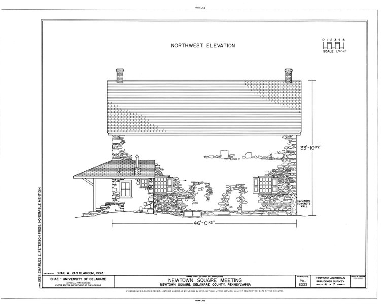
HABS PA,23-NEWSQ,1- (sheet 4 of 7) - Newtown Square Meeting House, 120 North Newtown Street Road, Newtown Square, Delaware County, PA |
|||
| Description |
Herman, Bernie, faculty sponsor; University of Delaware, Center for Historic Architecture and Design, sponsor; Krulikowski, Anne, delineator; Van Blarcom, Craig W, delineator |
|||
| Depicted place | Pennsylvania; Delaware County; Newtown Square | |||
| Date | Documentation compiled after 1933 | |||
| Dimensions | 19 x 24 in. (B size) | |||
| Current location |
Library of Congress Prints and Photographs Division Washington, D.C. 20540 USA http://hdl.loc.gov/loc.pnp/pp.print |
|||
| Accession number |
HABS PA,23-NEWSQ,1- (sheet 4 of 7) |
|||
| Credit line |
|
|||
| Notes |
|
|||
| Source | https://www.loc.gov/pictures/item/pa3610.sheet.00004a | |||
| Permission (Reusing this file) |
|
|||

| Object location | | View this and other nearby images on: OpenStreetMap |
|---|
File history
Click on a date/time to view the file as it appeared at that time.
| Date/Time | Thumbnail | Dimensions | User | Comment | |
|---|---|---|---|---|---|
| current | 04:38, 1 August 2014 |  | 9,650 × 7,584 (651 KB) | Fæ (talk | contribs) | GWToolset: Creating mediafile for Fæ. HABS 31 July 2014 (3000:3200) |
You cannot overwrite this file.
File usage on Commons
The following page uses this file: