Category:1750s maps of Poland
Media in category "1750s maps of Poland"
The following 7 files are in this category, out of 7 total.
-
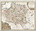
 1750 – G. R. Vaugondy – Pologne.jpg 2,169 × 2,113; 2.78 MB
-
-
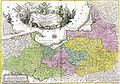
 Tobias Mayer Carte de la Pologne 1757.jpg 1,789 × 1,570; 1.79 MB
-
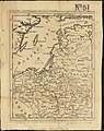
 Borussiae regnum.jpg 1,173 × 817; 909 KB
-
 Kuestrin.jpg 1,740 × 997; 1.98 MB
-

-
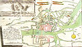
 Psie Pole rycina.jpg 1,400 × 752; 315 KB

.jpg)


.jpg)
