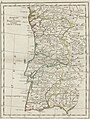
Category:1750s maps of Portugal
Countries of Europe: Albania · Austria · Belgium · Croatia · Denmark · Estonia · France‡ · Georgia‡ · Germany · Greece · Hungary · Republic of Ireland · Italy · Latvia · Lithuania · Netherlands‡ · Norway · Poland · Portugal‡ · Romania · Russia‡ · Slovenia · Spain‡ · Sweden · Switzerland · Turkey‡ · Ukraine
‡: partly located in Europe
‡: partly located in Europe
Media in category "1750s maps of Portugal"
The following 18 files are in this category, out of 18 total.
-
-
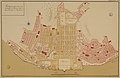 Pombaline Baixa Lisbon map 1756.jpg 3,732 × 2,414; 2.53 MB
-

-
 Histoire générale d'Espagne (Mapas) (IA A039308166175MC).pdf 941 × 1,206, 10 pages; 3.35 MB
-

-

-

-

-

-

-

-
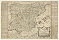
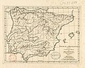 Iberiae sive Hispaniae typus - ab Anvillaeo delineatus ; Guill. Delahaye - btv1b5963782h.jpg 3,824 × 3,096; 1.48 MB
-
-
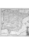
 Map - Special Collections University of Amsterdam - OTM- HB-KZL 34.25.08.tif 6,333 × 8,847; 160.3 MB
-

-

-

-

.jpg)


.jpg)
.jpg)


.jpg)