Category:SVG labeled maps of administrative divisions of North Rhine-Westphalia (location map scheme)


.svg)


_(Paris_zoom).svg)
.svg)
,_administrative_divisions_-_de_-_colored_(multizoom).svg)
_-_colored.svg)
.svg)
,_administrative_divisions_-_Nmbrs_(multizoom).svg)
,_administrative_divisions_-_de_-_colored.svg)
_-_de_-_colored.svg)

.svg)

.svg)
Federal states of Germany:
Media in category "SVG labeled maps of administrative divisions of North Rhine-Westphalia (location map scheme)"
The following 75 files are in this category, out of 75 total.
-

-
-
-
-

-

-

-

-
-

-

-

-
-

-

-
-

-

-
-

-

-
-

-

-

-
-

-

-

-

-
-

-
-
-
-

-

-

-
-

-
-
-

-

-
-

-
-
-

-
-

-
-

-
-

-
 Nordrhein-Westfalen, administrative divisions - de - colored (+topo).svg 527 × 524; 2.7 MB
-

-

-

-

-
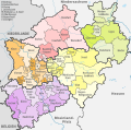
 Nordrhein-Westfalen, administrative divisions - de - colored +relief.svg 527 × 524; 2.57 MB
-
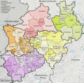
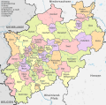
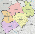
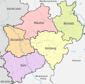
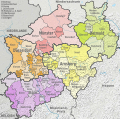
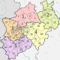
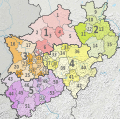
 Nordrhein-Westfalen, administrative divisions - de - colored.svg 527 × 524; 2.19 MB
-
-
 Nordrhein-Westfalen, administrative divisions - de - monochrome +relief.svg 527 × 524; 2.54 MB
-
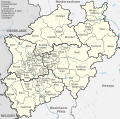
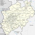
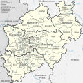
 Nordrhein-Westfalen, administrative divisions - de - monochrome.svg 527 × 524; 2.2 MB
-

-
-

-
-
 Nordrhein-Westfalen, administrative divisions - Nmbrs - colored +relief.svg 527 × 524; 2.57 MB
-
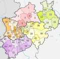
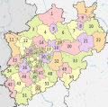
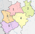
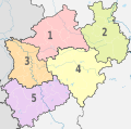
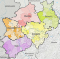
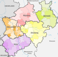
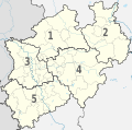
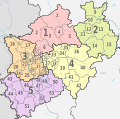
 Nordrhein-Westfalen, administrative divisions - Nmbrs - colored.svg 527 × 524; 2.19 MB
-

-

-
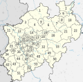
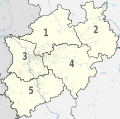
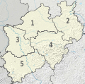
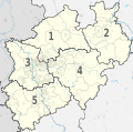
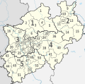 Nordrhein-Westfalen, administrative divisions - Nmbrs - monochrome.svg 527 × 524; 2.2 MB
-
 North Rhine-Westphalia topographic map 04V.svg 560 × 550; 1.23 MB
_-_de_-_colored_(%2Bpopulation).svg)
_-_de_-_colored_%2Brelief.svg)
_-_de_-_colored.svg)
_-_de_-_monochrome_(%2Bpopulation).svg)
_-_de_-_monochrome_%2Brelief.svg)
_-_de_-_monochrome.svg)
_-_Nmbrs_-_colored_(%2Bpopulation).svg)
_-_Nmbrs_-_colored_%2Brelief.svg)
_-_Nmbrs_-_colored.svg)
_-_Nmbrs_-_monochrome_(%2Bpopulation).svg)
_-_Nmbrs_-_monochrome_%2Brelief.svg)
_-_Nmbrs_-_monochrome.svg)
_-_de_-_colored_(less_colors)_(%2Bpopulation).svg)
_-_de_-_colored_(less_colors)_%2Brelief.svg)
_-_de_-_colored_(less_colors).svg)
_-_de_-_colored_(more_colors)_(%2Bpopulation).svg)
_-_de_-_colored_(more_colors)_%2Brelief.svg)
_-_de_-_colored_(more_colors).svg)
_-_de_-_monochrome_(%2Bpopulation).svg)
_-_de_-_monochrome_%2Brelief.svg)
_-_de_-_monochrome.svg)
_-_Nmbrs_-_colored_(less_colors)_(%2Bpopulation).svg)
_-_Nmbrs_-_colored_(less_colors)_%2Brelief.svg)
_-_Nmbrs_-_colored_(less_colors).svg)
_-_Nmbrs_-_colored_(more_colors)_(%2Bpopulation).svg)
_-_Nmbrs_-_colored_(more_colors)_%2Brelief.svg)
_-_Nmbrs_-_colored_(more_colors).svg)
_-_Nmbrs_-_monochrome_(%2Bpopulation).svg)
_-_Nmbrs_-_monochrome_%2Brelief.svg)
_-_Nmbrs_-_monochrome.svg)
.svg)
.svg)
.svg)
_(%2Bpopulation).svg)
_%2Brelief.svg)
.svg)


.svg)


.svg)
_(%2Bpopulation).svg)
_%2Brelief.svg)
.svg)


.svg)


