Atlas of Thailand

|
Wikimedia Commons Atlas of the World The Wikimedia Atlas of the World is an organized and commented collection of geographical, political and historical maps available at Wikimedia Commons. Discussion • Update the atlas • Index of the Atlas • Atlas in categories • Other atlases on line |
|
| ||||||||||||||||||||||||||||||||||||||||


General maps

|
Map of Thailand |

|
Map of Thailand |

|
Map of Thailand |

|
Map of Thailand |
Maps of divisions
This section holds maps of the administrative divisions.

|
Provinces of Thailand |
-
 Southern provinces
 -
 Northern provinces
 -
 Isan provinces


-
 Ang Thong
 -
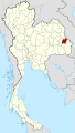 Amnat Charoen
 -
 Ayutthaya
 -
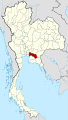
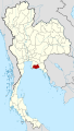
 Bangkok
 -
 Buriram
 -
 Chachoengsao
 -
 Chainat
 -
 Chaiyaphum
 -
 Chanthaburi
 -
 Chiang Mai
 -
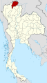 Chiang Rai
 -
 Chonburi
 -
 Chumphon
 -
 Kalasin
 -
 Kamphaeng Phet
 -
 Kanchanaburi
 -
 Khon Kaen
 -
 Krabi
Krabi -
 Lampang
 -
 Lamphun
 -
 Loei
Loei -
 Lopburi
 -
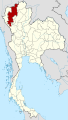
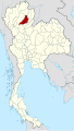
 Mae Hong Son
 -
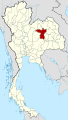
 Maha Sarakham
 -
 Mukdahan
 -
 Nakhon Nayok
 -
 Nakhon Pathom
 -
 Nakhon Phanom
 -
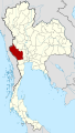
 Nakhon Ratchasima
 -
 Nakhon Sawan
 -
 Nakhon Si Thammarat
 -
 Nan
Nan -
 Narathiwat
 -
 Nongbua Lamphu
 -
 Nong Khai
 -
 Nonthaburi
 -
 Pathum Thani
 -
 Pattani
 -
 Phang Nga
 -
 Phatthalung
 -
 Phayao
 -
 Phetchaburi
 -
 Phetchabun
 -
 Phichit
 -
 Phitsanulok
 -
 Phrae
Phrae -
 Prachinburi
 -
 Prachuap Khiri Khan
 -
 Phuket
 -
 Ranong
 -
 Ratchaburi
 -
 Rayong
 -
 Roi Et
 -
 Sa Kaeo
 -
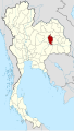
 Sakon Nakhon
 -
 Samut Prakan
 -
 Samut Sakhon
 -
 Samut Songkhram
 -
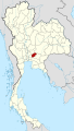
 Saraburi
 -
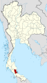
 Satun
Satun -
 Sing Buri
 -
 Sisaket
 -
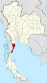
 Songkhla
 -
 Sukhothai
 -
 Suphanburi
 -
 Surat Thani
 -
 Surin
Surin -
 Tak
Tak -
 Trang
Trang -
 Trat
Trat -
 Ubon Ratchathani
 -
 Udon Thani
 -
 Uthai Thani
 -
 Uttaradit
 -
 Yala
Yala -
 Yasothon


History maps
This section holds a short summary of the history of the area of present-day Thailand, illustrated with maps, including historical maps of former countries and empires that included present-day Thailand.

|
Spread of Dvaravati culture in early Thailand |

|
Map of Funan |

|
Khmer Empire |
.svg)
|
Territorial development of Thailand |

|
Map of the Japanese Empire (1870-1942) |

|
Resistance in South Thailand |
Old maps
This section holds copies of original general maps more than 70 years old.

|
French map of Siam in 1686 |

|
Indochina in 1886 |
Other maps

|
Mountains of Isaan |

|
Map of Thale Sap, southern Thailand |

|
Map of "Kamphaeng Phet Historical Park" |

|
Map of Sukhothai Historical Park |

|
Si Satchanalai Historical Park |

|
Ayutthaya historical park: map of the old capital Ayutthaya |

|
Khlong Rangsit (Rangsit canal) area |

|
Map of "Rattanakosin Island", Bangkok's old city |

|
Tsunami effects |
.svg)
|
Battle of Koh Chang between Thailand and French Indochina (17 january 1941) |
-
 Temples of the capital: Wat Phra Kaeo
 -
 Temples of the capital: Wat Pho
 -
 Other Temples: Wat Phra Singh (Chiang Mai)
 -
 Phreah Vihear


Satellite maps

|
Satellite map |
Notes and references
|
General remarks:
|